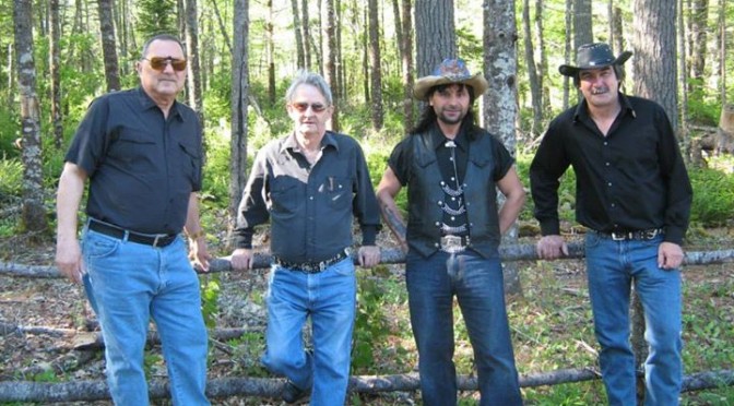
The next Friday Night Dinner is on 19-Dec-2014.
Limited space available so book fast! See details for the menu.
Call The Port Grocer for reservations: 902-677-2884

The next Friday Night Dinner is on 19-Dec-2014.
Limited space available so book fast! See details for the menu.
Call The Port Grocer for reservations: 902-677-2884
[Region of Queens Municipality] December 10, 2014, Liverpool, NS: What do Travis Tritt, Zumba, and the Czech Republic all have in common? Over the past three years, all have been part of the events schedule at Queens Place Emera Centre in Liverpool. Since its grand opening on December 19th, 2011, Queens Place Emera Centre has been host to many events of a local, provincial, and national caliber. This Friday, Dec. 19 from 6 – 9:00 pm, the public is invited to be part of the 3rd Anniversary Celebrations at an open house event that includes a free public skate, musical entertainment by the Queens County Children’s Choir, a free Christmas Fitness class, refreshments being served in the lobby and a visit from Santa Claus.
Continue reading Queens Place Emera Centre Marks 3rd Anniversary
Most of North America, including the United States and Canada will have front row seats to a partial solar eclipse on Thursday, October 23, 2014
Can I see the eclipse from my city?
People on the US East Coast and in eastern Canada will see the eclipse during sunset. If you are in the Midwest or the West Coast of the U.S., you will be treated to a spectacular afternoon eclipse, weather permitting, of course.
The eclipse will begin near the Kamchatka Peninsula in eastern Sibera at 19:38 (7:38 pm) UTC. As it moves east, much of North America will be able to see a partial solar eclipse. The maximum eclipse will take place at 21:45 (9:45 pm) UTC over Canada’s Nunavut Territory near Prince of Wales Island. The eclipse will end at 23:52 (11:52 pm) UTC.
© 2014 timeanddate.com.
Luckily hurricane Gonzalo did not affect the South Shore of Nova Scotia noticeably. Matter of fact, other than some ocean swells, we had a beautiful week during the duration of Gonzalo. The heavy down pour on Friday, October 17th, 2014 was not related to Gonzalo.
Environment Canada summary:
STORM SUMMARY FOR HURRICANE GONZALO
(October 14 to 19, 2014)

HURRICANE GONZALO WAS A MAJOR CATEGORY 4 HURRICANE THAT PASSED DIRECTLY OVER BERMUDA THEN CONTINUED TOWARDS ATLANTIC CANADA, GRADUALLY WEAKENING BUT ACCELERATING RAPIDLY AS IT HEADED ALMOST DIRECTLY TOWARDS NEWFOUNDLAND. IT CROSSED INTO THE LAURENTIAN FAN SATURDAY EVENING AS A STRONG CATEGORY 1 HURRICANE, AND MAINTAINED THIS INTENSITY AS IT PASSED ABOUT 50 KM SOUTH OF CAPE RACE, AT THE SOUTHEASTERN TIP OF NEWFOUNDLAND, NEAR DAWN ON SUNDAY. IT PASSED EAST OF CANADIAN FORECAST WATERS NEAR NOON ON SUNDAY AND IS HEADING TOWARDS EUROPE AS A STRONG POST-TROPICAL SYSTEM.

THE TRAJECTORY AND MOTION OF THE STORM AS IT ACCELERATED TOWARDS US PRODUCED UNUSUALLY LARGE WAVES AND SWELL, WHICH IMPACTED OUR WATERS FROM THE LAURENTIAN FAN EAST TO THE GRAND BANKS. THIS, COMBINED WITH STORM SURGE ALONG THE SOUTHERN COAST OF THE AVALON PENINSULA AND LOCAL HIGH TIDES AT THE CLOSEST APPROACH OF GONZALO, GAVE A POTENTIAL FOR LOCAL FLOODING. FORTUNATELY THE LARGEST WAVES ARRIVED AS THE TIDE AND SURGE WERE DROPPING, REDUCING THIS RISK GREATLY. FURTHER OFFSHORE, VERY LARGE SWELL IN EXCESS OF 11 METRES WAS OBSERVED AND AFFECTED OFFSHORE AREAS FROM THE LAURENTIAN FAN EAST TO THE GRAND BANKS.

THE STORM ALSO PRODUCED HURRICANE FORCE WINDS OVER PART OF THE LAURENTIAN FAN AND MOST OF THE GRAND BANKS. IT ALSO GAVE RAINFALL AMOUNTS OF ABOUT 30 TO 70 MM FOR MOST OF THE AVALON PENINSULA.
FINALLY, THERE WAS STORM SURGE OF 80 CM OR HIGHER FOR MUCH OF THE SOUTHERN AVALON PENINSULA.
See Environment Canada’s Hurricane Information Statements for more details.